
The camera view is north-northwest from the Biscuit Basin boardwalk looking at Black Diamond Pool, which is in the foreground (the tilted viewing angle is due to the slope of the boardwalk).
Webcams
The USGS maintains a variety of webcams across the U.S. These webcams provide valuable research information and data to the USGS scientists, the National Weather Service, emergency managers, and area residents to evaluate near, real-time conditions during natural hazard events (most webcams refresh every 5 - 20 minutes).
Filter Total Items: 337

Biscuit Basin webcam
The camera view is north-northwest from the Biscuit Basin boardwalk looking at Black Diamond Pool, which is in the foreground (the tilted viewing angle is due to the slope of the boardwalk).

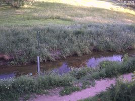
Difficult Run Above Fox Lake Near Fairfax, Virginia
Most recent imagery of the Difficult Run stream in Fairfax VA. Visit the webcam site for previous images, timelapse video, and measured parameters.
This webcam is a part of the Fairfax County Water Resources Monitoring Network.
Most recent imagery of the Difficult Run stream in Fairfax VA. Visit the webcam site for previous images, timelapse video, and measured parameters.
This webcam is a part of the Fairfax County Water Resources Monitoring Network.

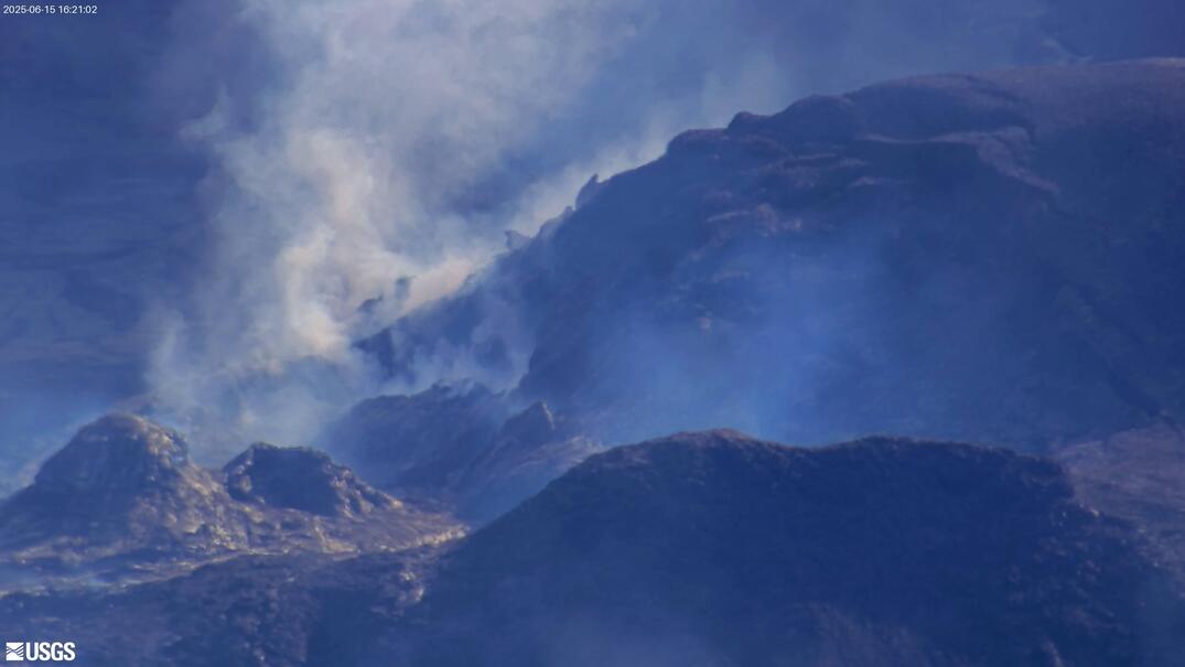
[V3cam] Kīlauea volcano, Hawaii (south Halemaʻumaʻu crater)
Last 24 Hours - Live view of Halemaʻumaʻu crater within Kaluapele (Kīlauea caldera), from the south rim of the crater [V3cam]. This camera is a pan-tilt-zoom model and the view may change depending on activity.
Disclaimer
Last 24 Hours - Live view of Halemaʻumaʻu crater within Kaluapele (Kīlauea caldera), from the south rim of the crater [V3cam]. This camera is a pan-tilt-zoom model and the view may change depending on activity.
Disclaimer
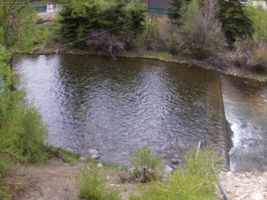
Blue River below Dillon, CO (09050700)
Webcam at USGS Streamgage 09050700 Blue River below Dillon, CO.
Visit Water Data For the Nation to get current data for this site.
Webcam at USGS Streamgage 09050700 Blue River below Dillon, CO.
Visit Water Data For the Nation to get current data for this site.

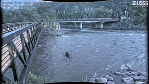
Gunnison River at County Road 32 below Gunnison, CO (383103106594200)
Webcam at USGS Streamgage 383103106594200 Gunnison River at County Road 32 below Gunnison, CO.
Visit Water Data For the Nation to get current data for this site.
Webcam at USGS Streamgage 383103106594200 Gunnison River at County Road 32 below Gunnison, CO.
Visit Water Data For the Nation to get current data for this site.
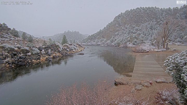
Arkansas River near Nathrop, CO (07091200)
Webcam at USGS Streamgage 07091200 Arkansas River near Nathrop, CO.
Visit Water Data For the Nation to get current data for this site.
Webcam at USGS Streamgage 07091200 Arkansas River near Nathrop, CO.
Visit Water Data For the Nation to get current data for this site.
Harvard Gulch at Harvard Park at Denver, CO (06711575)
Webcam at USGS Streamgage 06711575 Harvard Gulch at Harvard Park at Denver, CO.
Visit Water Data For the Nation to get current data for this site.
Webcam at USGS Streamgage 06711575 Harvard Gulch at Harvard Park at Denver, CO.
Visit Water Data For the Nation to get current data for this site.
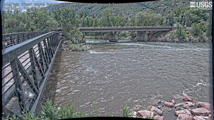
Roaring Fork River at Glenwood Springs, CO (09085000)
Webcam at USGS Streamgage 09085000 Roaring Fork River at Glenwood Springs, CO.
Visit Water Data For the Nation to get current data for this site.
Webcam at USGS Streamgage 09085000 Roaring Fork River at Glenwood Springs, CO.
Visit Water Data For the Nation to get current data for this site.
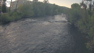
Yampa River at 5th Street Bridge in Steamboat Springs, CO (Upstream of 09239500)
Yampa River at 5th Street Bridge in Steamboat Springs, CO (Upstream of 09239500)
Webcam upstream of USGS Streamgage 09239500 Yampa River at Steamboat Springs, CO.
Yampa River at 5th Street Bridge in Steamboat Springs, CO (Upstream of 09239500)
Webcam upstream of USGS Streamgage 09239500 Yampa River at Steamboat Springs, CO.

Lakewood Test Site Denver Federal Center Bldg. 53
Webcam at Lakewood Test Site Denver Federal Center Bldg. 53.
Visit Water Data For the Nation to get current data for this site.
Webcam at Lakewood Test Site Denver Federal Center Bldg. 53.
Visit Water Data For the Nation to get current data for this site.
Teller Reservoir near Stone City, CO (07099233)
Webcam at USGS Streamgage 07099233 Teller Reservoir near Stone City, CO.
Visit Water Data For the Nation to get current data for this site.
Webcam at USGS Streamgage 07099233 Teller Reservoir near Stone City, CO.
Visit Water Data For the Nation to get current data for this site.
Willow Creek below Cabin Creek near Granby, CO (09019850)
Webcam at USGS Streamgage 09019850 Willow Creek below Cabin Creek near Granby, CO
Visit Water Data For the Nation to get current data for this site.
Webcam at USGS Streamgage 09019850 Willow Creek below Cabin Creek near Granby, CO
Visit Water Data For the Nation to get current data for this site.
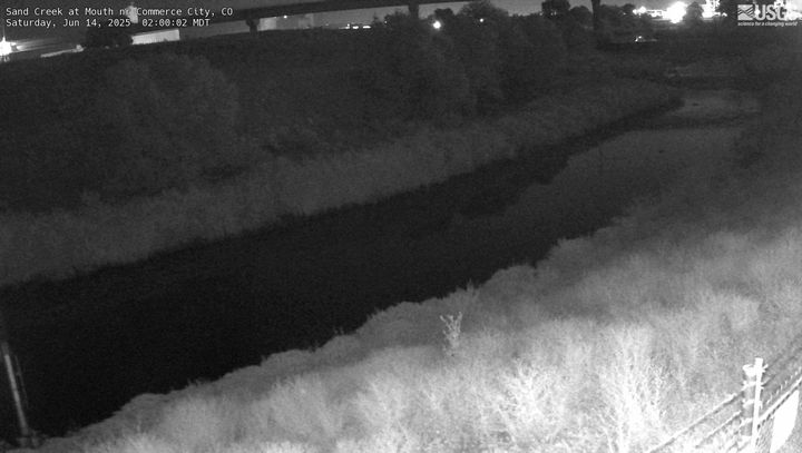
Sand Creek at Mouth near Commerce City, CO (394839104570300)
Webcam at USGS Streamgage 394839104570300 Sand Creek at Mouth near Commerce City, CO.
Visit Water Data For the Nation to get current data for this site.
Webcam at USGS Streamgage 394839104570300 Sand Creek at Mouth near Commerce City, CO.
Visit Water Data For the Nation to get current data for this site.
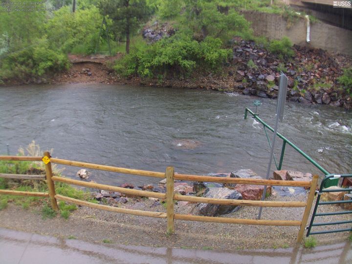
Clear Creek at Golden, CO (06719505)
Webcam at USGS Streamgage 06719505 Clear Creek at Golden, CO.
Visit Water Data For the Nation to get current data for this site.
Webcam at USGS Streamgage 06719505 Clear Creek at Golden, CO.
Visit Water Data For the Nation to get current data for this site.


Flatlick Branch Above Frog Branch at Chantilly, Virginia
Most recent imagery of the Flatlick Branch stream in Fairfax VA. Visit the webcam site for previous images, timelapse video, and measured parameters.
Most recent imagery of the Flatlick Branch stream in Fairfax VA. Visit the webcam site for previous images, timelapse video, and measured parameters.
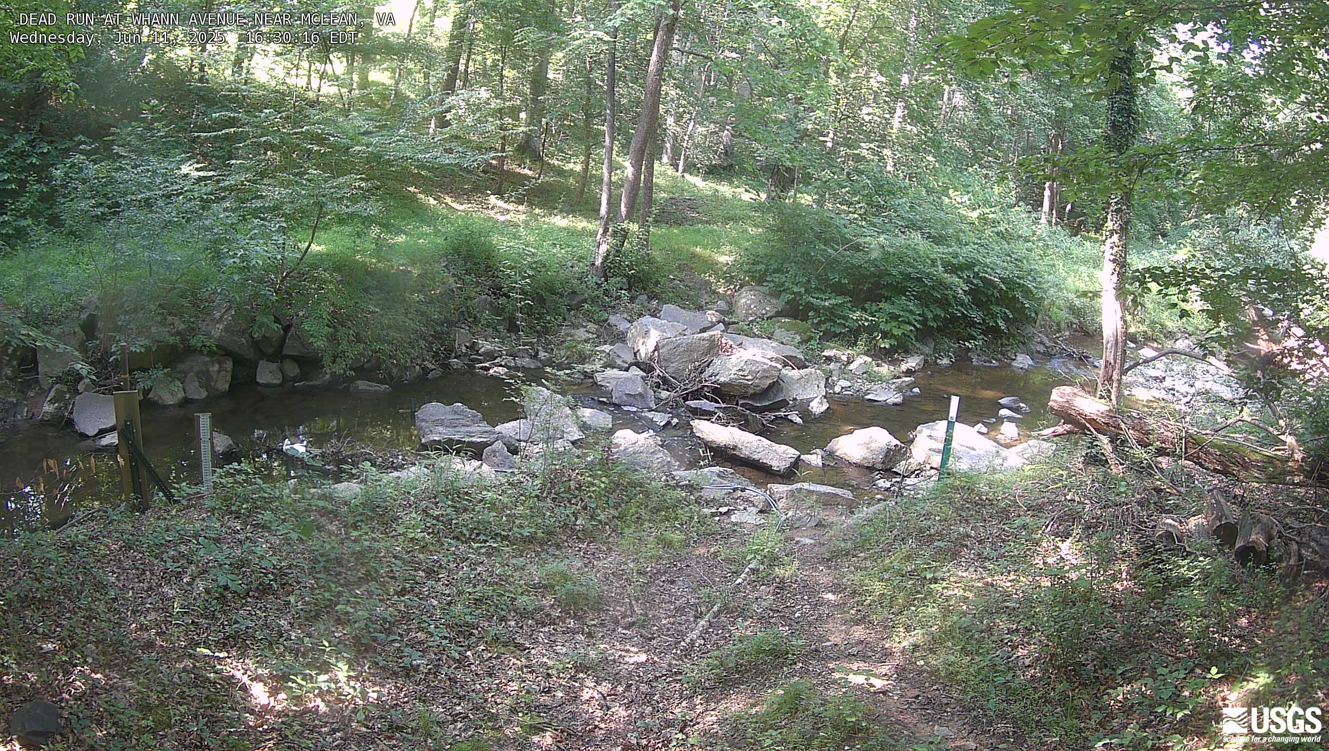
Dead Run at Whann Avenue Near Mclean, Virginia
Most recent imagery of the Dead Run stream in Fairfax VA. Visit the webcam site for previous images, timelapse video, and measured parameters.
This webcam is a part of the Fairfax County Water Resources Monitoring Network.
Most recent imagery of the Dead Run stream in Fairfax VA. Visit the webcam site for previous images, timelapse video, and measured parameters.
This webcam is a part of the Fairfax County Water Resources Monitoring Network.
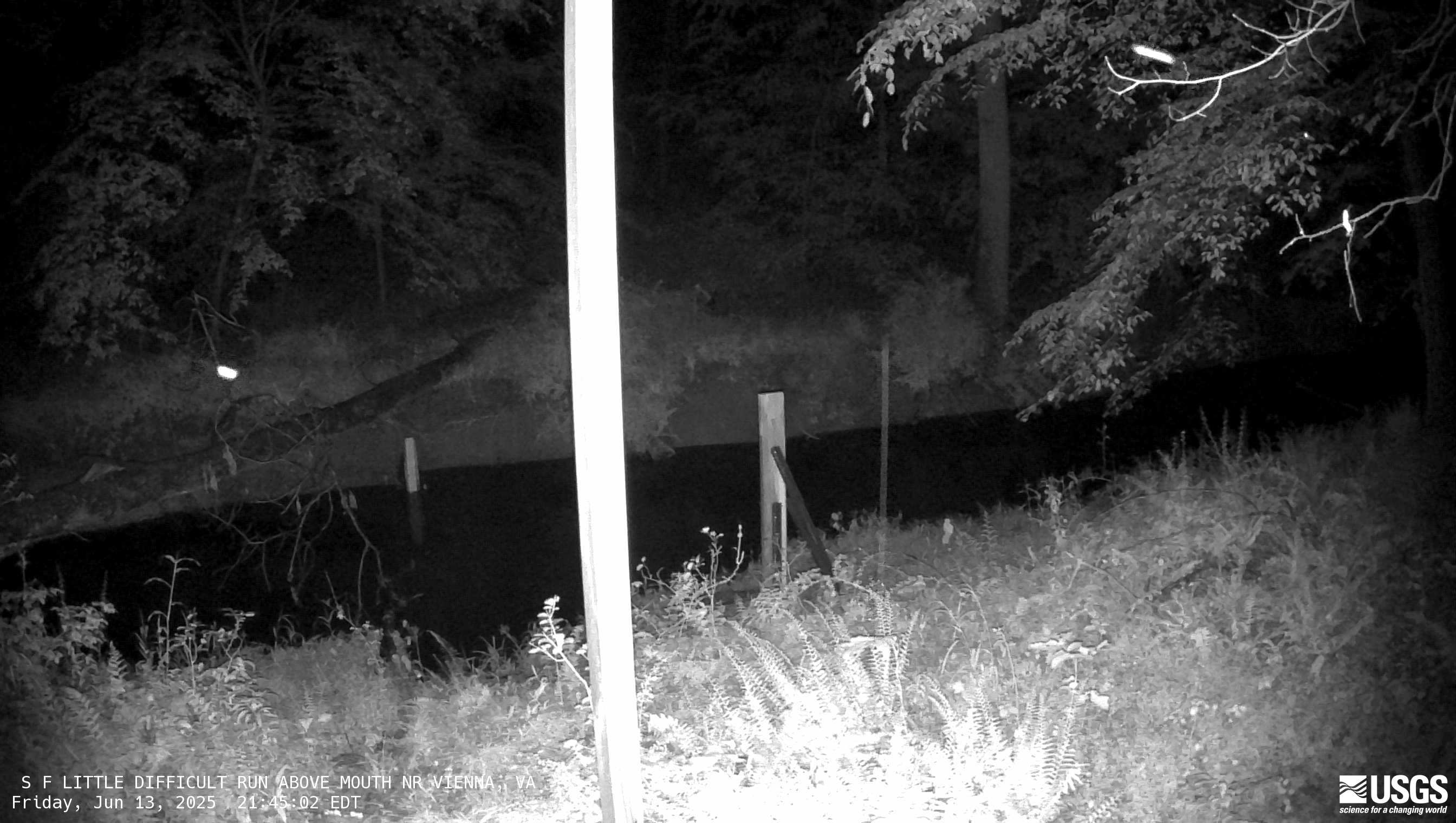
South Fork Little Difficult Run Above Mouth Near Vienna
Most recent imagery of the South Fork of Little Difficult Run stream in Fairfax VA. Visit the webcam site for previous images, timelapse video, and measured parameters.
Most recent imagery of the South Fork of Little Difficult Run stream in Fairfax VA. Visit the webcam site for previous images, timelapse video, and measured parameters.
[V2cam] Kīlauea volcano, Hawaii (east Halemaʻumaʻu crater)
Live view of Kaluapele (Kīlauea caldera) and Halemaʻumaʻu crater, from the northeast rim of the caldera [V2cam]. This camera is a pan-tilt-zoom model and the view may change depending on activity.
Disclaimer
Live view of Kaluapele (Kīlauea caldera) and Halemaʻumaʻu crater, from the northeast rim of the caldera [V2cam]. This camera is a pan-tilt-zoom model and the view may change depending on activity.
Disclaimer
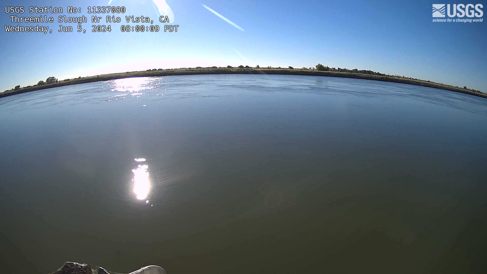
THREEMILE SLOUGH NR RIO VISTA webcam
The name of this webcam is THREEMILE SLOUGH NR RIO VISTA. It is located in Rio Vista, CA. The timelapse length is 10 seconds (100 images) and the collection interval is every 15 minutes.
The name of this webcam is THREEMILE SLOUGH NR RIO VISTA. It is located in Rio Vista, CA. The timelapse length is 10 seconds (100 images) and the collection interval is every 15 minutes.