
A USGS Hawaiian Volcano Observatory geologist collects high-precision ground positions using a kinematic GPS instrument that measures its vertical and horizontal position. Once processed, these measurements will help scientists determine the thickness of the tephra deposit downwind of the ongoing Halema‘uma‘u eruption at Kīlauea summit.
Multimedia
Images

May 29, 2025 — Kīlauea summit fieldwork after episode 23
A USGS Hawaiian Volcano Observatory geologist collects high-precision ground positions using a kinematic GPS instrument that measures its vertical and horizontal position. Once processed, these measurements will help scientists determine the thickness of the tephra deposit downwind of the ongoing Halema‘uma‘u eruption at Kīlauea summit.

May 29, 2025 — Kīlauea summit fieldwork after episode 23
A thick deposit of tephra from the high fountaining of episode 23—along with accumulation from previous episodes—of the ongoing Kīlauea summit eruption, blankets the southwestern rim of Halema‘uma‘u crater. The deposit, within the closed area of Hawai‘i Volcanoes National Park, underscores the hazardous nature of this area.
A thick deposit of tephra from the high fountaining of episode 23—along with accumulation from previous episodes—of the ongoing Kīlauea summit eruption, blankets the southwestern rim of Halema‘uma‘u crater. The deposit, within the closed area of Hawai‘i Volcanoes National Park, underscores the hazardous nature of this area.

May 29, 2025 — Kīlauea summit fieldwork after episode 23
A view from the south rim of Halema‘uma‘u crater looking at the active vents. The ongoing Kīlauea summit eruption that began on December 23, 2024, is currently paused following the high fountaining of episode 23 on Sunday, May 25.
A view from the south rim of Halema‘uma‘u crater looking at the active vents. The ongoing Kīlauea summit eruption that began on December 23, 2024, is currently paused following the high fountaining of episode 23 on Sunday, May 25.

May 29, 2025 — Kīlauea thermal maps following episode 21 and 23
This compilation shows thermal maps of Kīlauea summit collected on May 14 and 28, 2025. These maps followed episodes 21 and 23 of the ongoing Kīlauea summit eruption, respectively, and both show inactive but warm lava flows produced by the preceding lava fountaining episodes.
This compilation shows thermal maps of Kīlauea summit collected on May 14 and 28, 2025. These maps followed episodes 21 and 23 of the ongoing Kīlauea summit eruption, respectively, and both show inactive but warm lava flows produced by the preceding lava fountaining episodes.

May 28, 2025 — View of southwest Halema‘uma‘u at Kīlauea volcano
This view of the southwest portion of Halema‘uma‘u (top right of photo) was captured during a USGS Hawaiian Volcano Observatory monitoring helicopter overflight on Wednesday, May 28, 2025. Part of Crater Rim Drive in Hawai‘i Volcanoes National Park, which has been closed to the public since 2007, is visible in the center of the photo.
This view of the southwest portion of Halema‘uma‘u (top right of photo) was captured during a USGS Hawaiian Volcano Observatory monitoring helicopter overflight on Wednesday, May 28, 2025. Part of Crater Rim Drive in Hawai‘i Volcanoes National Park, which has been closed to the public since 2007, is visible in the center of the photo.

May 25, 2025 — Two lava fountains at the summit of Kīlauea
Both the north and south vents in Halemaʻumaʻu erupted during episode 23 on May 23, as shown in this V3 webcam image taken at 5:25 p.m. HST. USGS webcam image.
Both the north and south vents in Halemaʻumaʻu erupted during episode 23 on May 23, as shown in this V3 webcam image taken at 5:25 p.m. HST. USGS webcam image.
Videos
May 25, 2025 — Kīlauea Episode 23 Timelapse
This timelapse video (taken by the V3cam on the south rim of the crater) shows all of episode 23 of the ongoing Kīlauea summit eruption, which was active from 4:15 p.m. HST to 10:25 p.m. on May 25. Both the north and south vents in Halemaʻumaʻu erupted during episode 23. Lava fountains from the north vent reached heights of more than 1,000 feet (300 meters).
This timelapse video (taken by the V3cam on the south rim of the crater) shows all of episode 23 of the ongoing Kīlauea summit eruption, which was active from 4:15 p.m. HST to 10:25 p.m. on May 25. Both the north and south vents in Halemaʻumaʻu erupted during episode 23. Lava fountains from the north vent reached heights of more than 1,000 feet (300 meters).

May 25, 2025 — Video clips of episode 23 at the summit of Kīlauea
This video compilation shows several clips of episode 23 of the ongoing Kīlauea summit eruption, which was active from 4:15 p.m. HST to 10:25 p.m. on May 25. Both the north and south vents in Halemaʻumaʻu erupted during episode 23. Lava fountains from the north vent reached heights of more than 1,000 feet (300 meters).
This video compilation shows several clips of episode 23 of the ongoing Kīlauea summit eruption, which was active from 4:15 p.m. HST to 10:25 p.m. on May 25. Both the north and south vents in Halemaʻumaʻu erupted during episode 23. Lava fountains from the north vent reached heights of more than 1,000 feet (300 meters).
May 25, 2025 — Kīlauea Episode 23 Livestream Video Clips
This video compilation shows several clips of episode 23 of the ongoing Kīlauea summit eruption taken by the USGS Hawaiian Volcano Observatory livestream cameras. During episode 23, which was active from 4:15 p.m. HST to 10:25 p.m. on May 25, both the north and south vents in Halemaʻumaʻu erupted.
This video compilation shows several clips of episode 23 of the ongoing Kīlauea summit eruption taken by the USGS Hawaiian Volcano Observatory livestream cameras. During episode 23, which was active from 4:15 p.m. HST to 10:25 p.m. on May 25, both the north and south vents in Halemaʻumaʻu erupted.

May 21, 2025 — Flaming vents at the summit of Kīlauea
Kīlauea summit livestream camera viewers have recently observed flames within the vents in Halemaʻumaʻu. These flames, which are often a yellowish orange color, result from hydrogen gas burning in air. Hydrogen is a minor component of volcanic gas released from the hot magma below, and it can sometimes be ignited causing the flames observed recently.
Kīlauea summit livestream camera viewers have recently observed flames within the vents in Halemaʻumaʻu. These flames, which are often a yellowish orange color, result from hydrogen gas burning in air. Hydrogen is a minor component of volcanic gas released from the hot magma below, and it can sometimes be ignited causing the flames observed recently.

April 22, 2025 — Kīlauea Episode 18 Lava Fountaining Video
This video shows a clip from a USGS Hawaiian Volcano Observatory monitoring helicopter overflight on Tuesday, April 22, when high fountaining was occurring from the south vent at the summit of Kīlauea during episode 18 of the ongoing eruption. Other clips show activity captured during a field visit to the south rim of the caldera.
This video shows a clip from a USGS Hawaiian Volcano Observatory monitoring helicopter overflight on Tuesday, April 22, when high fountaining was occurring from the south vent at the summit of Kīlauea during episode 18 of the ongoing eruption. Other clips show activity captured during a field visit to the south rim of the caldera.

April 20, 2025 — Timelapse video of intermittent eruptive activity at Kīlauea
This timelapse video shows approximately 1 hour of activity compressed into 38 seconds, and covers a period of intermittent activity in the south vent the morning of April 20.
This timelapse video shows approximately 1 hour of activity compressed into 38 seconds, and covers a period of intermittent activity in the south vent the morning of April 20.
Audio

Lava lake activity from inside Halema`uma`u Crater
Sounds of lava lake activity within Kilauea Volcano's summit vent inside Halema`uma`u Crater on the afternoon of February 14, 2011. The continuous "crashing wave" noise is the sound of churning lava as gases are released from the lake surface, which is in nearly constant motion.
Sounds of lava lake activity within Kilauea Volcano's summit vent inside Halema`uma`u Crater on the afternoon of February 14, 2011. The continuous "crashing wave" noise is the sound of churning lava as gases are released from the lake surface, which is in nearly constant motion.

Dramatic Developments at Kilauea Volcano
Kilauea Volcano in Hawaii has experienced its first explosive eruption in more than 80 years and is now spewing noxious gas at 10 times the normal rate. John Eichelberger, head of the USGS Volcano Hazards Program, fills us in on the situation.
Kilauea Volcano in Hawaii has experienced its first explosive eruption in more than 80 years and is now spewing noxious gas at 10 times the normal rate. John Eichelberger, head of the USGS Volcano Hazards Program, fills us in on the situation.
Webcams

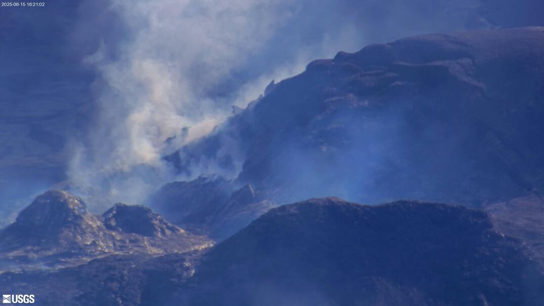
[V3cam] Kīlauea volcano, Hawaii (south Halemaʻumaʻu crater)
Last 24 Hours - Live view of Halemaʻumaʻu crater within Kaluapele (Kīlauea caldera), from the south rim of the crater [V3cam]. This camera is a pan-tilt-zoom model and the view may change depending on activity.
Disclaimer
Last 24 Hours - Live view of Halemaʻumaʻu crater within Kaluapele (Kīlauea caldera), from the south rim of the crater [V3cam]. This camera is a pan-tilt-zoom model and the view may change depending on activity.
Disclaimer
[V2cam] Kīlauea volcano, Hawaii (east Halemaʻumaʻu crater)
Live view of Kaluapele (Kīlauea caldera) and Halemaʻumaʻu crater, from the northeast rim of the caldera [V2cam]. This camera is a pan-tilt-zoom model and the view may change depending on activity.
Disclaimer
Live view of Kaluapele (Kīlauea caldera) and Halemaʻumaʻu crater, from the northeast rim of the caldera [V2cam]. This camera is a pan-tilt-zoom model and the view may change depending on activity.
Disclaimer

[S2cam] - View of Halemaʻumaʻu crater at the summit of Kīlauea, view is to the west
Live view of Halemaʻumaʻu crater at the summit of Kīlauea; camera is positioned on the south rim and the view is to the west [S2cam].
Disclaimer
Live view of Halemaʻumaʻu crater at the summit of Kīlauea; camera is positioned on the south rim and the view is to the west [S2cam].
Disclaimer

[KOcam] Live Image of upper East Rift Zone from Maunaulu
This image is from a temporary research camera positioned near Maunaulu, looking northwest toward the upper East Rift Zone of Kīlauea.
Disclaimer
This image is from a temporary research camera positioned near Maunaulu, looking northwest toward the upper East Rift Zone of Kīlauea.
Disclaimer

[MITDcam] Kīlauea upper Southwest Rift Zone
[MITDcam] Live view of Kīlauea's upper Southwest Rift Zone, looking northwest from a seismic station in the Kaʻū Desert.
[MITDcam] Live view of Kīlauea's upper Southwest Rift Zone, looking northwest from a seismic station in the Kaʻū Desert.

Kīlauea Volcano Live Stream - Halemaʻumaʻu crater
Live view of the eruption in Halemaʻumaʻu, from the northwest rim of the caldera, looking east [V1cam] on the USGS YouTube Channel.
Live view of the eruption in Halemaʻumaʻu, from the northwest rim of the caldera, looking east [V1cam] on the USGS YouTube Channel.